Oasis Montaj

Data Integration and Management
Oasis Montaj excels at integrating various types of geoscientific data, including geological, geophysical, geochemical, and environmental data. The software supports a wide range of data formats and ensures seamless import, management, and organization of data, providing users with a cohesive view of their projects.
Advanced Data Processing and Analysis
One of the core strengths of Oasis Montaj is its advanced data processing capabilities. The software offers a multitude of processing tools for different types of geoscientific data:
- Geophysical Data: Process magnetic, gravity, radiometric, electromagnetic, and seismic data with precision.
- Geochemical Data: Analyze and interpret geochemical surveys to identify mineralization patterns.
- Geological Data: Create detailed geological maps and cross-sections.
These tools enable users to perform sophisticated analyses, enhancing their ability to interpret subsurface conditions accurately.
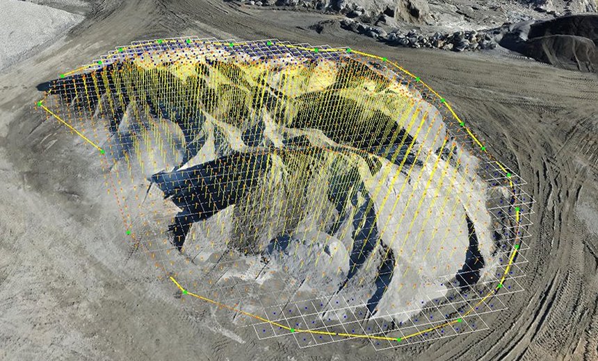
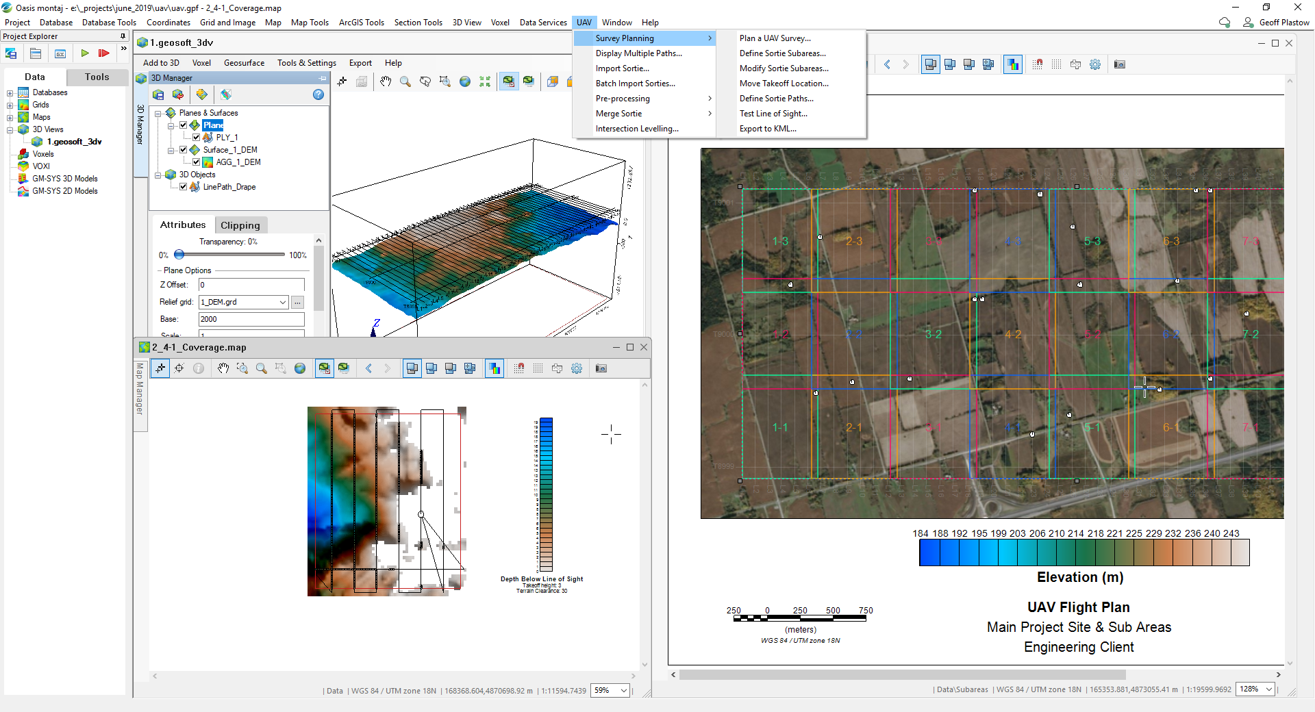
Powerful Visualization Tools
Oasis Montaj provides robust visualization tools that allow users to create 2D and 3D models of their data. These visualizations help in understanding complex geological structures and anomalies, facilitating better decision-making. The platform supports the generation of:
- Maps and Sections: Produce detailed and annotated maps and cross-sections.
- 3D Models: Construct 3D visualizations to analyze spatial relationships and subsurface structures.
Customizable Workflows
The software is designed with flexibility in mind, offering customizable workflows to suit the specific needs of different projects. Users can automate repetitive tasks, create custom scripts, and develop tailored workflows that enhance productivity and consistency.
Collaboration and Data Sharing
Oasis Montaj promotes collaboration among geoscientists by enabling efficient data sharing and teamwork. The platform supports integration with Seequent Central, Seequent’s cloud-based collaboration platform, allowing teams to share, review, and manage their geoscientific data in real time. This feature ensures that all stakeholders have access to the most up-to-date information, improving project coordination and outcomes.