LOGIN
TRAININGS
CAREERS
DOWNLOADS
Toggle navigation
ABOUT US
SOLUTIONS
SUPPORT
CONTACT US
TRAININGS
CAREERS
DOWNLOADS
LOGIN
Solutions
Maximize the productivity of your people and assets
SOLUTIONS
Check-out Other Solutions
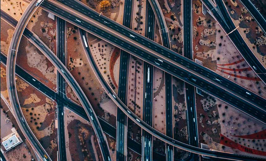
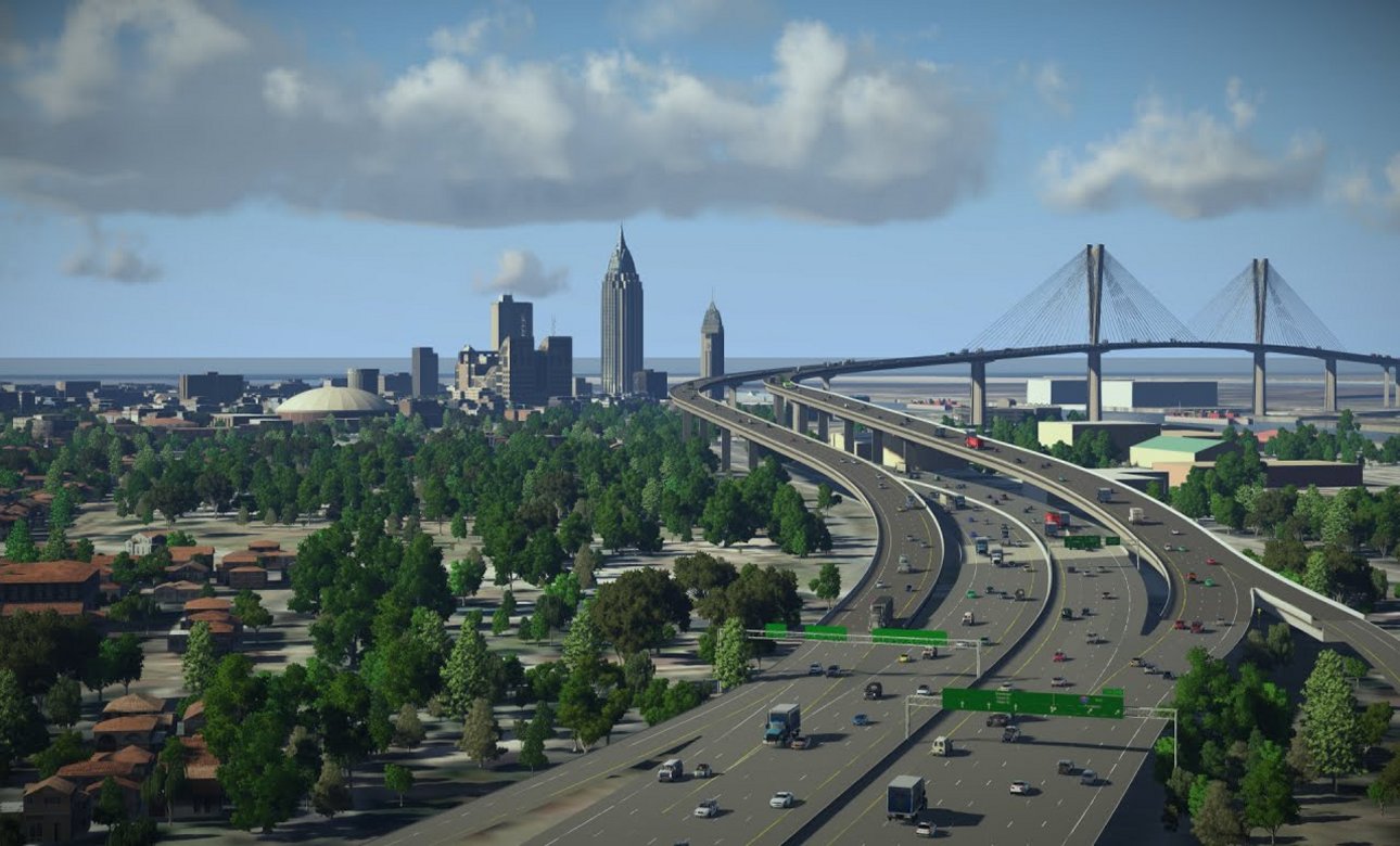
Roads
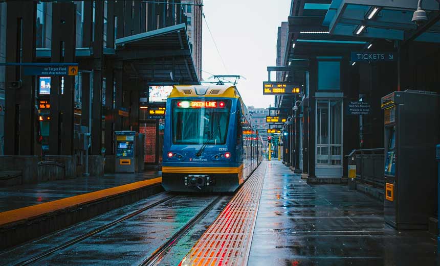
Rail
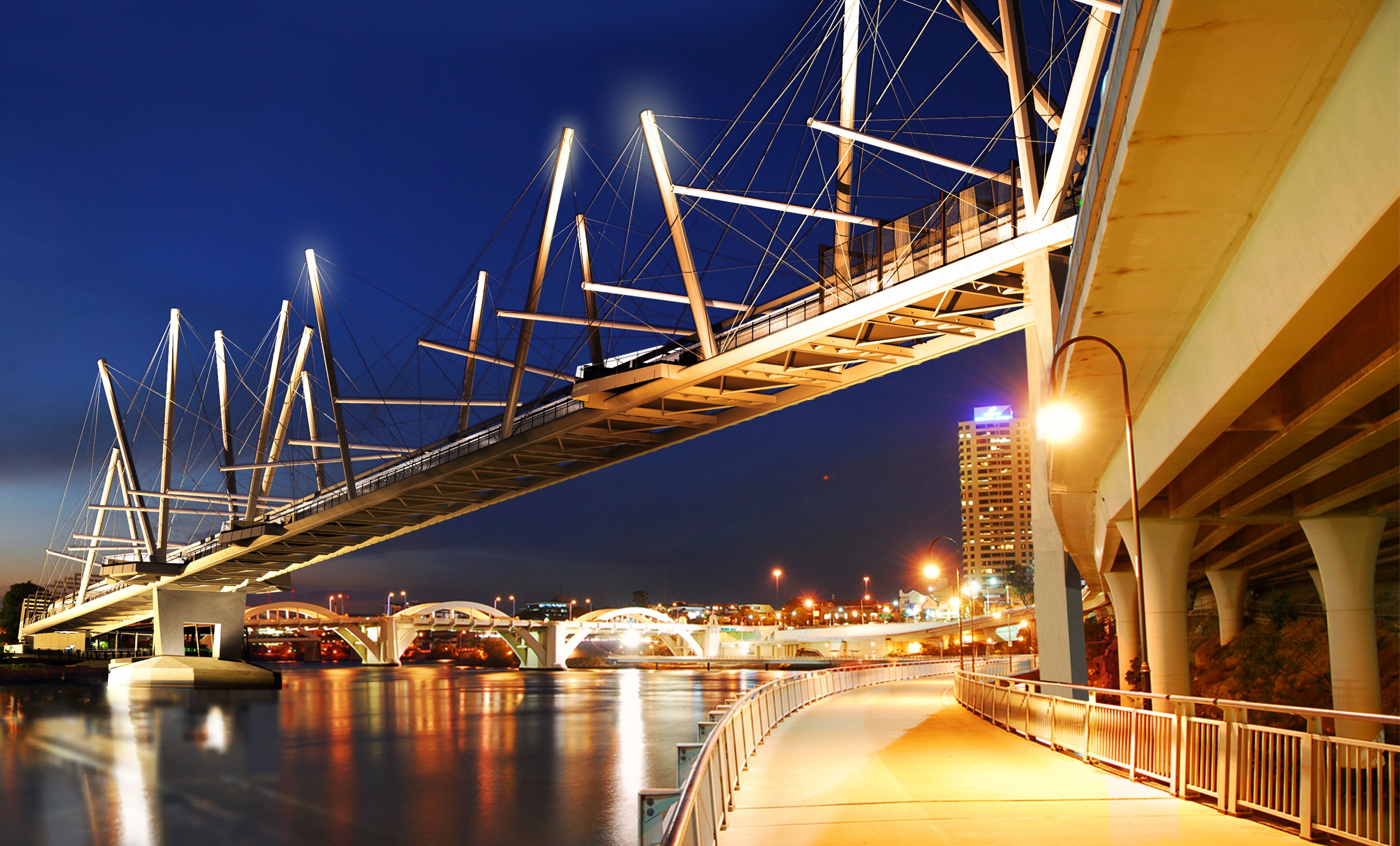
Bridges
Buildings
Structural
Connections & Detailing
Transmission & Communication Towers
Geotechnical Engineering
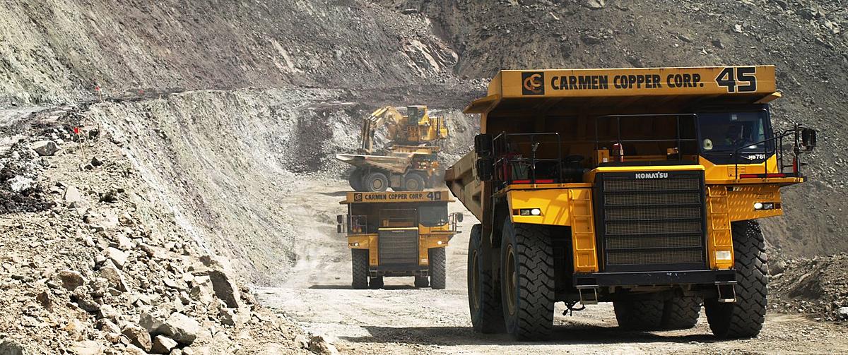
Mining
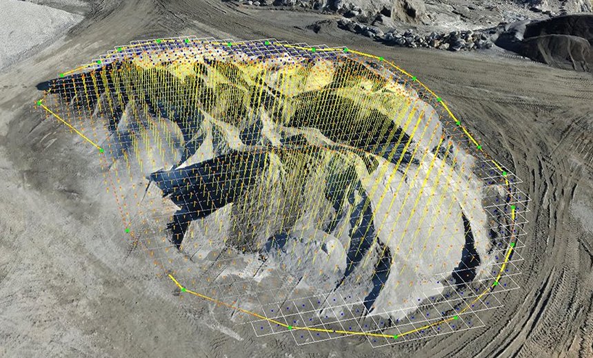
Survey & Reality Modeling
Visualization
2D and 3D CAD
Academic
Previous
Next